- Shelf
- Earth and Maps
- Kind
- Built from a recipe
- Sound
- Yes
- Licenses
- Public domain
How to play
Tap to play May 18, 1980; tap again to go back to 1979.
Its controls
| Control | Kind | Range | Start |
|---|---|---|---|
| Play May 18, 1980 | Tap | ||
| 1980 | Switch | Off |
About it
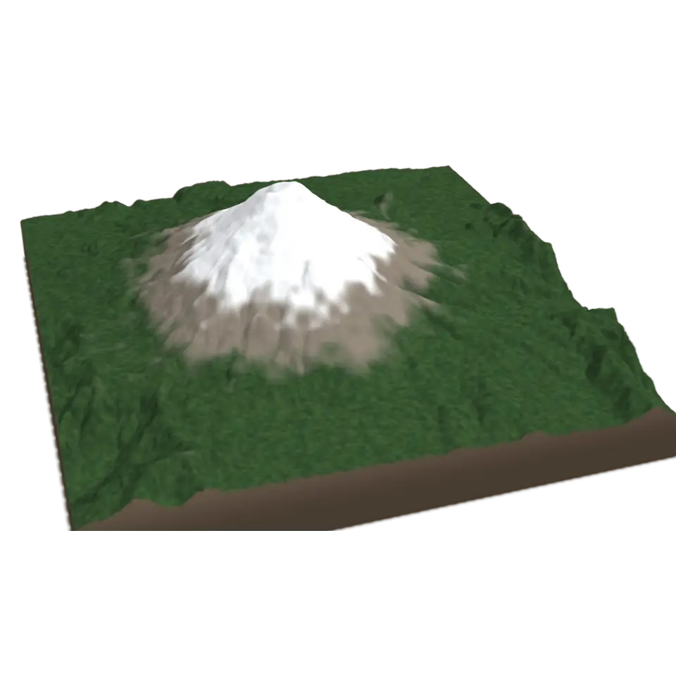
Mount St. Helens, a volcano in Washington State, erupted on May 18, 1980. An earthquake set off the largest landslide ever recorded: the bulging north side of the mountain slid away, a sideways blast flattened the forest for miles, and a column of ash rose about 24 kilometers into the sky. The summit was about 400 meters lower afterward, with a horseshoe-shaped crater open to the north.
This block shows the mountain before the eruption, from a U.S. Geological Survey model made from 1950s topographic maps, and today, from the 3D Elevation Program and aerial photographs, seen from the north. Tap it to watch the summit fall away while the blast races north and the ash column rises and drifts east; tap again to go back to 1979. The heights are real; the timing and the ash are shortened to a few seconds.
Details
- Splats
- Opens at 200,000 at Mid Detail, 157,410 at Low, and up to 870,000 at Max
Sources and credits
| Work | By | License |
|---|---|---|
| Digital elevation model of Mount St. Helens prior to the 1980 eruption | J. A. Bard and R. Phillips-Netherton, U.S. Geological Survey | Public domain |
| 3D Elevation Program (3DEP), The National Map | U.S. Geological Survey | Public domain |
| The National Map orthoimagery (NAIP and Landsat) | USDA Farm Service Agency, NASA and the U.S. Geological Survey | Public domain |